Have you heard about Mt. Pulag? I am so lucky to have a friend so in love in mountaineering and he could tell me everything about his well – worthy experience of climbing to this MOUNTAIN OF CLOUDS, the Mount Pulag. Later, at the peak of our story, you will know why it is called the Mountain of Clouds.
Mount Pulag is located in Benguet, Province, Philippines. It is the second highest mountain in the Philippines. Some reports say it is the third. The place is so enchanting that it changes its color as the season changes. Brown during dry season and green during rainy season.
Getting there
An 8 hour trip from Manila to Baguio may start the adventure. It will be a long long trip so better plan to do it at night. The 10 pm bus trip will do best so that you can have the rest all night while travelling. Upon arrival in Baguio, you can head off to Burnham park. There are jeepneys available near that point which could be hired for your trip towards the Kabayan, Benguet for the start of the trail. Or the Norton buses will also be a nice transportation going up there in Benguet. There are three trails to choose from, where you could start the hike. The AMBANGEG Trail is the easiest one to summit. The other 2 , which are said to be difficult are the Akiki trail and the Tawangan trail.
It may take you about 3 hours to reach the ranger station in Kabayan, Benguet where you are supposed to begin.
Things to bring
Liters of water, trail foods like power bars and chocolates, tents, clothes, scarf, jackets, flashlights, money, cooking utensils, lip balm, trash bags, tissues and sleeping bags.
Mounth Pulag as a protected area
The Department of Environment and Natural Resources (DENR) is the implementing arm of the government that takes care of Mount Pulag National Park, hence it is a requirement for all hikers to stop at their office on the way to the ranger’s station and have the orientation and guidelines for camping at the said mountain. They are expected to bring their garbage back, leave no marks and follow the assigned trail.


At the ranger station
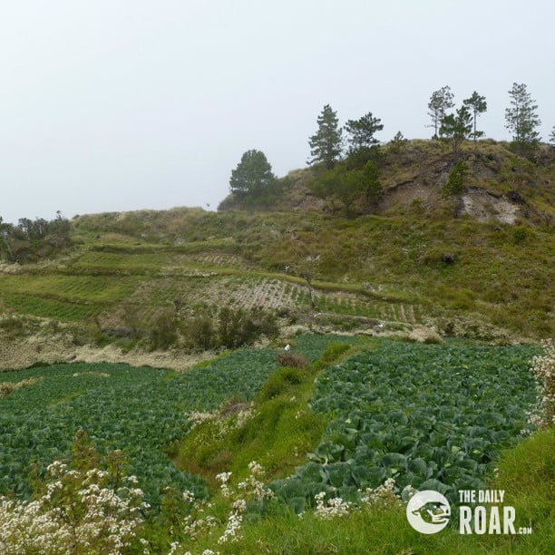
The journey starts from this point – at the Ranger’s station. Here, you’ll see a view of agriculture. Lots of vegetables are along the way like cabbage, potatoes and many more other crops that grows in cold climates like here. You won’t believe what you can see. A real magical combination of flora and fauna.

Through the Ambangeg trail
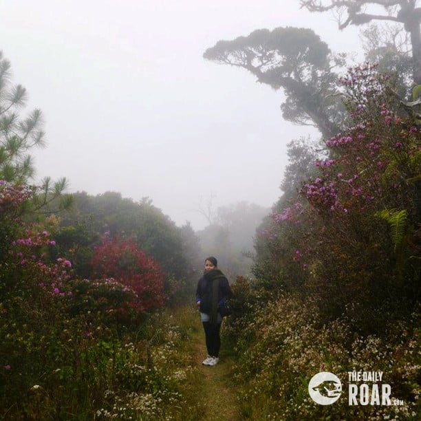
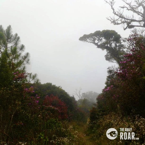
A friend of mine advises that newbies like me must take the Ambangeg trail as this one is not as dangerous as the other two. Through Ambangeg trail, you will pass through pine forest. There are lots of vegetable farms and flowery plants. A magical setting indeed. It reminds of the movie “Avatar”. Such an easy stage as you slowly start catching up your breath.
Going on, and getting on the real fun and adventure, you’ll see moss that covers the trees. Trees and lots of trees around. It is like a walk in the park. Very beautiful landscapes are on every side of the trail. Look near and look far, it’s getting more like a paradise. Well, definitely because, all these were made from Heaven above.


The camping area
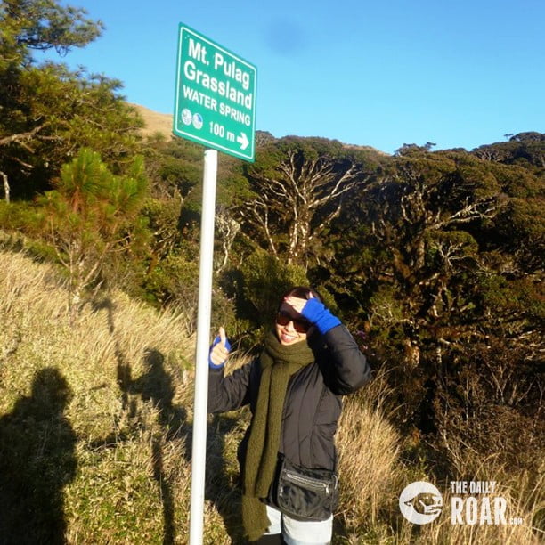
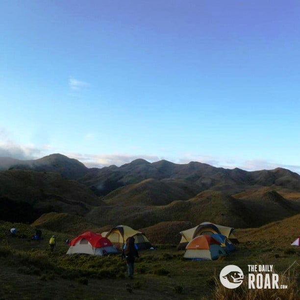
After passing through the pine trees, now is the time to set-up the tents. Reaching up to the grassy area signifies the camp.

MT. Pulag junior summit
Just 30 minutes from the grassy area is the Junior summit where you can still have your tents set-up if you want to. That is, if you will consider taking up the pictures. It’s a good location for a shot.
The senior summit
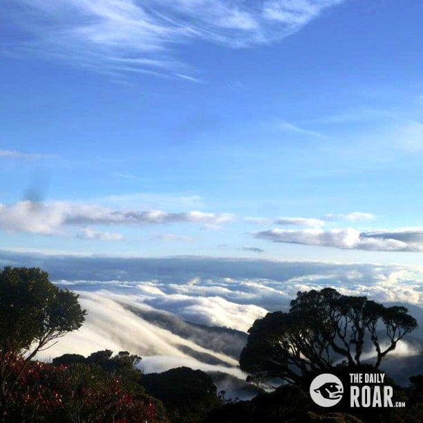
Continue the journey for 2 hours from the camp, and there, you’ll meet the smiling sunrise. What a feeling indeed, when you conquer this dream summit of mine. The so called Sea of Clouds at the peak will give you the experience of being so close to heaven.


Going down
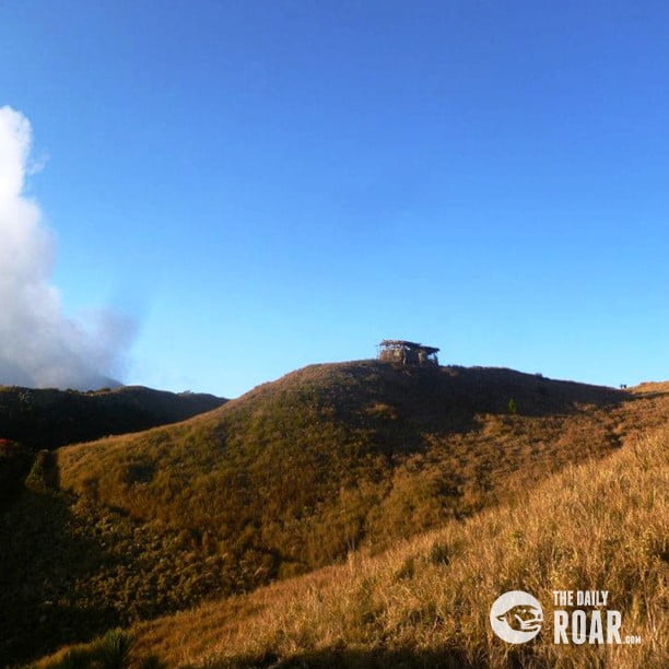
Now it is easier to go down – just follow the trail back when you went up.
/// Written by Rosemarie Ramos, The Philippines


